top of page
Search

Exploring the SWOT Pixel Cloud: A First Look at the Newest Product Release
Delve into the inaugural release of SWOT satellite data, including a quick assessment of the water mask provided by Level-2 products from th
Mauricio Cordeiro
May 4, 20247 min read
2,082 views
1 comment


Are you still downloading satellite images? STOP and STAC Part 2
Learn to process satellite images with just a few lines of code without downloading it
Thiaggo Tayer
Apr 17, 20245 min read
1,907 views
0 comments

Are you still downloading satellite images? STOP and STAC Part 1
Learn to access satellite imagery with just a few lines of code without downloading it
Thiaggo Tayer
Feb 21, 20244 min read
1,459 views
2 comments

Don't Install Python (Locally) for Data Science. Use Docker Instead!
A beginner's step-by-step guide to start using Docker Containers for Data Science development and avoid complex Python environment managers
Mauricio Cordeiro
Jan 21, 20246 min read
3,981 views
0 comments

Configuring a Minimal Docker Image for Spatial Analysis with Python
Learn how to install the basic geospatial dependencies, such as GDAL and XArray, and deploy them as a container
Mauricio Cordeiro
Jan 14, 20244 min read
1,422 views
0 comments

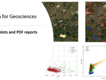
Python for Geosciences: Scatter Plots and PDF reports (step by step)
Learn how to create scatter plots from satellite imagery and automate a PDF reporting engine with the results
Mauricio Cordeiro
Apr 12, 20227 min read
206 views
0 comments

Python for Geosciences: Raster Merging, Clipping and Reprojection with Rasterio (step by step)
Learn how to perform raster reprojection, clipping and merging using the rasterio package for Python
Mauricio Cordeiro
Apr 3, 20228 min read
716 views
0 comments

Python for Geosciences: Raster bit masks explained (step by step)
Learn how to (correctly) use raster bit masks layers provided by satellite images as quality assessment bands
Mauricio Cordeiro
Mar 28, 202211 min read
213 views
0 comments

Python for Geosciences: Spectral Analysis (Step by Step)
In this third post we show how to perform spectral analysis on multispectral satellite imagery.
Mauricio Cordeiro
Mar 21, 20229 min read
416 views
0 comments

Python for Geosciences: Satellite Image Analysis (step by step)
This is the second post in a series that will teach non-programmers how to use Python to handle and analyze geospatial data. Introduction...
Mauricio Cordeiro
Mar 14, 20229 min read
543 views
0 comments

Python for Geosciences: Working with Satellite Images (step by step)
First post in a series that will teach non-programmers how to use Python to handle and analyze geospatial data
Mauricio Cordeiro
Mar 7, 20228 min read
1,059 views
1 comment

Leveraging the Performance of Agglomerative Clustering for High-Resolution Satellite Images
Learn how to improve agglomerative clustering performance on large datasets
Mauricio Cordeiro
May 10, 20216 min read
32 views
0 comments
bottom of page
